Floodplain Management
Delaware County Planning provides technical assistance regarding floodplains and local compliance with regulatory floodplain requirements.
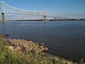
Flooding is an issue that affects all of Delaware County’s municipalities. Planning Department staff often act as a conduit for State and Federal regulatory directives by assisting in dispensing information and/or coordinating meetings. Staff regularly receive inquiries to view the Federal Emergency Management Agency (FEMA) floodplain maps. These maps can be viewed at the DCPD office, but are also available through FEMA’s Map Service Center. FEMA’s online mapping tool allows a user to access FEMA floodplain maps by entering the street address for the desired location.
Flood Resiliency Workshop
The Delaware County Planning Department conducted a Flood Resiliency Workshop on August 21, 2018, featuring guest speakers from the Delaware County Conservation District, Delaware Valley Regional Planning Commission, and the Federal Emergency Management Agency. Presentation materials and handouts can be found here.
Questions about Floodplain Management? Contact the Planning Department at 610-891-5200 or Planning_Department@co.delaware.pa.us.


Gina Burritt, Director
Planning Department
2 W. Baltimore Avenue
Suite 202
Media, PA 19063
Phone: 610-891-5200
Email: Planning_Department@co.delaware.pa.us
![]()